ISPRS WG I/4
LiDAR, Laser Altimetry and Sensor Integration
Mission/Scope
ISPRS Working Group I/4 aims is to promote the developments and investigations on the state-of-the-art terrestrial, airborne, and spaceborne sensing and mapping systems, mainly using LiDAR, laser altimeters and LiDAR-based multi-sensor integration systems. The focus will be placed on data quality and performance validation of LiDAR and laser altimetry systems for digital surface modelling and 3D scene reconstruction.
To this purpose, the WG I/4 will organize technical events, provide open access datasets, and organize international comparative tests for evaluating the performance of algorithms and designs for various terrestrial, airborne, and spaceborne LiDAR and laser altimeter data processing towards emerging applications. In addition, the WG I/4 will continue to work closely with other Working Groups within TCs I, II, and III, as well as sister organizations such as ICA, FIG, and IEEE-TGRS.
Working Group Officers | ||
Chair | ||
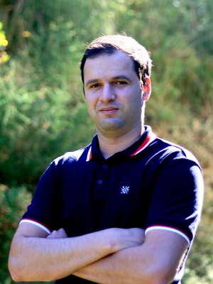
 | Yiping Chen School of Geospatial Engineering and Science Sun Yat-sen University Zhuhai Campus Tangjiawan Zhuhai Guangdong CHINA +86-756-366-8354
| |
Co-Chair | ||
 | Leila Hashemi Beni Department of Built Environment North Carolina A&T State University 1601 E. Market Street Greensboro, NC 27411 USA +1-336-285-3133
| |
Co-Chair | ||
 | Ruofei Zhong College of Resource Environment and Tourism Capital Normal University Beijing CHINA +86-010-68903132
| |
Secretary | ||
 | Luis Miguel González de Santos School of Aerospace Engineering University of Vigo Campus Ourense 32004 Ourense SPAIN +34 988 387 272
| |
Supporters | ||
Advisor | ||
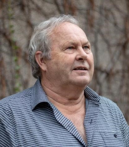
 | Michael A. Chapman Department of Civil Engineering Toronto Metropolitan University 350 Victoria Street Toronto, Ontario CANADA +1-416-979-5000, ext. 6461
| |
Supporter | ||
 | Haiyan Guan School of Remote Sensing and Geomatics Engineering Nanjing University of Information Science and Technology 219 Ningliu Road Nanjing Jiangsu CHINA +86-25-5869-5739
| |
Supporter | ||
 | Samsung Lim Department of Civil and Environmental Engineering University of New South Wales Sydney, NSW 2052 AUSTRALIA +61-2-9385-4505
| |
Supporter | ||
 | Yuwei Chen Department of Remote Sensing and Photogrammetry Finnish Geospatial Research Institute (FGI) NLS, Masala FI-0245 Espoo FINLAND
| |
Terms of Reference
- Promote the developments and investigations on the state-of-the-art terrestrial, airborne, and spaceborne mapping systems, mainly using LiDAR and laser altimetry sensors
- Investigate new generation of LiDAR sensors(e.g. low-energy, high-pulse,3D ) and its integrated systems for various sensing and mapping applications
- Development of novel multispectral and hyperspectral LiDAR and multi-platform systems (e.g., drone, robot dog, wearable systems) and its outdoor and indoor applications
- Investigate technologies on integration and fusion of multi-sensor system data (e.g., LiDAR and photogrammetric point clouds)
- Performance analysis on algorithms and data of various terrestrial, airborne, and spaceborne LiDAR and laser altimeter
- Liaison with other WGs and ICA, FIG, and IEEEGRSS for offshore survey, terrain mapping, tree/architecture height measurement, carbon sink, etc.
WG I/4


