ISPRS WG II/2
Point Cloud Generation and Processing
Our Mission
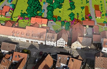
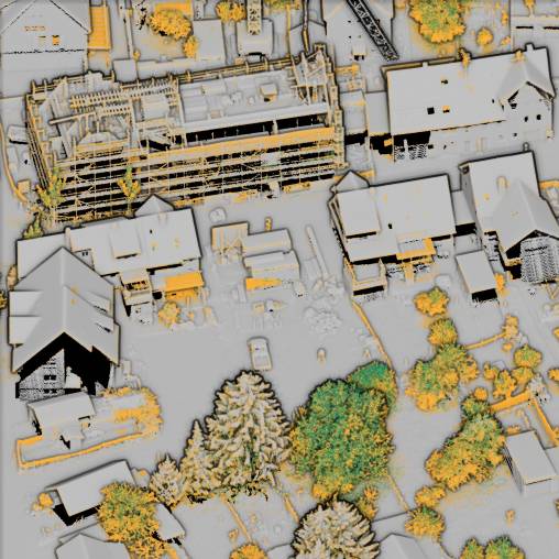
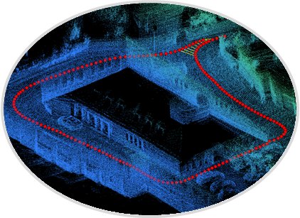
ISPRS Working Group II/2 addresses the development of new methodologies, algorithms and applications for point cloud generation and processing. We address point clouds acquired by photogrammetry and LiDAR as well as other scanning technologies and ubiquitous 3D sensors. The data can be captured by terrestrial including indoor, airborne including UAV and space-borne platforms. The processing includes filtering, feature extraction, object detection, segmentation, classification, registration and fusion of point clouds from different sensors and data sources as well as mesh-generation during surface reconstruction. Along with classic applications in mapping, point clouds for BIM and CH are also addressed.
Working Group Officers | ||
Chair | ||
 | Norbert Haala University of Stuttgart Institute for Photogrammetry Geschwister-Scholl-Str. 24D 70174 Stuttgart GERMANY +49 711 685 83383
| |
Co-Chair | ||
 | Jan Boehm Department of Civil, Environmental and Geomatic Engineering University College London UNITED KINGDOM +44 (0)20 3108 1036
| |
Co-Chair | ||
 | Bisheng Yang State Key Laboratory of Information Engineering in Surveying, Mapping and Remote Sensing (LIESMARS) Wuhan University CHINA +86 27 6877 9699
| |
Secretary | ||
 | Francesca Matrone Polytechnic of Turin Department of Environment, Land and Infrastructure Engineering Corso Duca degli Abruzzi 24 10129 Turin ITALY +39 011 090 7700
| |
Supporters | ||
Advisor | ||
 | Florent Lafarge INRIA Sophia Antipolis 2004, route des Lucioles 06902 Sophia Antipolis Cedex FRANCE +33 4-92-38-77-31
| |
Advisor | ||
 | Sander Oude Elberink Faculty ITC Department Earth Observation Science (EOS) University of Twente NETHERLANDS +31 (0)53 – 487 4350
| |
Advisor | ||
 | Reuma Arav Department of Landscape, Spatial and Infrastructure Sciences Institute of Geomatics Peter-Jordan Strasse 82 1190 Vienna AUSTRIA
| |
Terms of Reference
- Point cloud acquisition by terrestrial / mobile / UAV / aerial LiDAR or other scanning technologies or photogrammetry
- Stereo and Multi-View-Stereo for terrestrial / UAV / aerial / spaceborne imagery
- Ubiquitous point cloud sensing and mapping, consumer grade 3D sensors, automotive 3D sensors
- Real-time generation of point clouds using SLAM and related methods
- Methods for multi-modal mesh generation
- Integration of point clouds with multi-modal data (e.g., images, InSAR) for change detection/updating
- Point cloud registration, fusion and integration of point clouds from different data sources or sensors for surface reconstruction
- Development of new methodologies, algorithms and applications for point cloud semantic understanding and analysis
- Explainability and interpretability for DL approaches on point clouds
- Machine learning for point filtering operations
- Information extraction from point clouds, including feature extraction, object detection, segmentation and classification
- Quality and performance evaluation of point cloud generation with respect to computational complexity, precision, robustness and scalability of methods
WG II/2
