ISPRS WG III/3
Active Microwave Remote Sensing
Our Mission
The working group on "Active microwave remote sensing" aims to foster the visibility and impact of research in the field of active microwave remote sensing, most notably represented by synthetic aperture radar (SAR) and radar altimetry technologies, in the ISPRS. In this context, we focus both on methodological developments, as well as relevant applications in the field of Earth observation. To strengthen the radar community within ISPRS, we will closely collaborate with other societies, e.g. IEEE-GRSS.
Working Group Officers | ||
Chair | ||
 | Junichi Susaki Graduate School of Engineering Kyoto University C1-1-205 Kyotodaigaku-Katsura Nishikyo-ku Kyoto 615-8540 JAPAN +81-75-383-3300
| |
Co-Chair | ||
 | Florence Tupin Télécom Paris 19 place Marguerite Perey 91 120 Palaiseau FRANCE +33-1-75319686
| |
Co-Chair | ||
 | Michael Schmitt University of the Bundeswehr Munich Department of Aerospace Engineering Werner-Heisenberg-Weg 39 85577 Neubiberg GERMANY +49 89 6004-4426
| |
Secretary | ||
 | Füsun Balik Sanli Geomatic Engineering Department Yildiz Technical University YTÜ İnşaat Fakültesi Harita Müh.Böl. 34220-Esenler/İstanbul TÜRKIYE +90 212 383 5331
| |
Supporters | ||
Supporter | ||
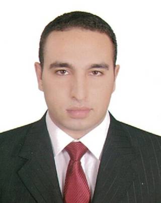 | Tamer ElGharbawi Civil Engineering Department Faculty of Engineering Suez Canal University New Campus Kilo 4.5 Ring Road Ismailia P.O. 41522 EGYPT +2-01222291266
| |
Supporter | ||
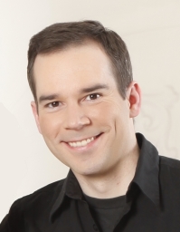 | Ronny Hänsch DLR Germany HR-STR Münchener Str. 20 82234 Weßling GERMANY
| |
Supporter | ||
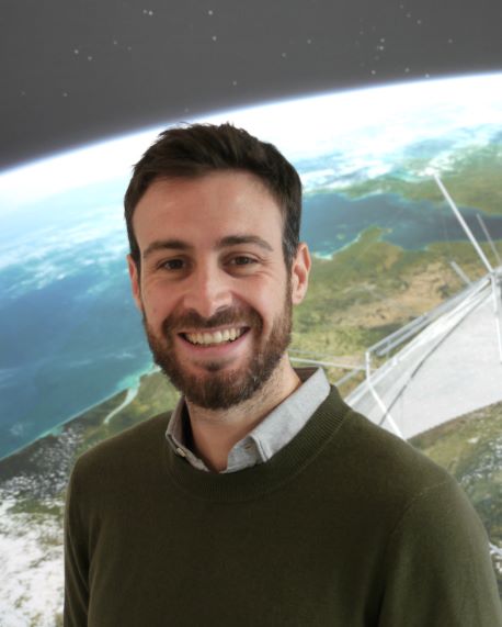 | Francescopaolo Sica University of the Bundeswehr Munich Werner-Heisenberg-Weg 393 85579 Neubiberg GERMANY +49 8960043685
| |
Supporter | ||
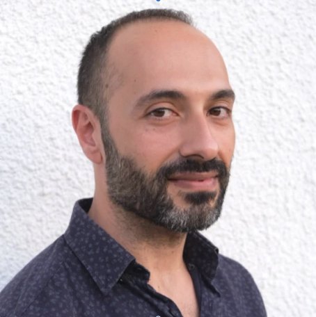 | Saygin Abdikan Hacettepe University Department of Geomatics Engineering 06800 Cankaya/Ankara TÜRKIYE +90 312 297 6990/ ext:125
| |
Supporter | ||
 | Mustafa Üstüner Department of Geomatic Engineering Artvin Coruh University Artvin TÜRKIYE +90 5079351231
| |
Supporter | ||
 | Antonio Pepe Institute for the Electromagnetic sensing of the environment, IREA National Council Research of Italy (CNR) 328 Diocleziano 80125 Napoli ITALY
| |
Supporter | ||
 | Fabiana Calò National Research Council of Italy (CNR) Institute for Electromagnetic Sesning of Environment (IREA) Via Diocleziano 328 Napoli ITALY +39 081 76206 33
| |
Supporter | ||
 | Sayyad Shafiyoddin Milliya Arts, Science & Management Science College Beed 431122 (MS) INDIA +91 9325710235
| |
Advisor | ||
 | Mattia Crespi Geodesy and Geomatics Division - DICEA Sapienza School for Advanced Studies Sapienza University of Rome via Eudossiana, 18 00184 Rome ITALY +39 0644585097
| |
Advisor | ||
 | Michele Crosetto Centre Tecnològic de Telecomunicacions de Catalunya (CTTC) Geomatics Research Unit Av. Gauss, 7 E-08860 Castelldefels (Barcelona) SPAIN +34695560351
| |
Terms of Reference
- Promote advanced research, engineering development, and operational use of theories, methods, systems for the analysis of remotely sensed active microwave observations of the Earth from air-, space- and ground-borne sensors.
- Promote image and signal processing methods for synthetic aperture radar (based on polarimetry, interferometry, tomography etc.) and altimeter.
- Assess and demonstrate the potential of future or new radar systems
- Focus on physical modelling of microwave scattering, geometric analysis of SAR images (i.e. radargrammetry, coregistration etc.), the analysis of spectral signatures, radar image classification, data fusion, pattern recognition, machine learning/deep learning tailored to SAR data and quality control.
- Enhance the applications in generating digital elevation model (DEM), monitoring land deformation, and assessing environment, geohazards, landuse/landcover including urban areas, nature resources, weather/atmosphere and climate, cryosphere, coastal and ocean, forestry/agricultural and ecosystems/biodiversity.
- Contribute to effective out-reach through data/algorithms sharing and capacity building, cooperate intensively with international professional societies, space agencies, application-driven scientific communities and the International Committee On Remote Sensing of Environment (ICORSE).
- Collaborate with the corresponding WG of Commission 1 to promote the development of new processing algorithms in the design of future sensors or their ground segment
WG III/3
