ISPRS WG III/4
Landuse and Landcover Change Detection
Our Mission
The working group on "Landuse and landcover change detection" aims at developing landuse and landcover change detection methods and applications based on multi-sensor and multi-temporal remote sensing data in relation to environmental and socio-economical issue in the context of global change.
Working Group Officers | ||
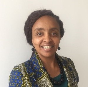
Chair | ||
 | Patricia Wanjiku Mwangi Kenyatta University Department of Spatial & Environmental Planning P.O.Box 43844-00100 Nairobi KENYA
| |
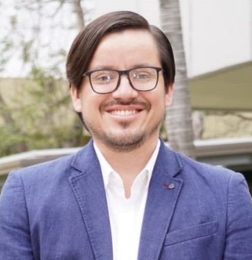
Co-Chair | ||
 | Andrés Velástegui Montoya Andrés Velástegui Montoya ESPOL Polytechnic University Faculty of Engineering in Earth Sciences P.O. Box 090902 Guayaquil ECUADOR
| |
Secretary | ||
 | Shirong Cai University of Padova Department of Land, Environment, Agriculture and Forestry Via dell'Università, 16 35020 - Legnaro (PD) ITALY +39 3242868410
| |
Terms of Reference
- Investigate and enhance algorithms and methodologies for land-use and land-cover change mapping and/or detection.
- Further the study of remote sensing time series for land-use and land-cover changes.
- Suggest advanced solutions based on deep learning, dynamic modeling, artificial intelligence, etc. for monitoring and analyzing land-use and land-cover changes, including the context of big data.
- Further the study of the dynamics of land-use and land-cover change in different regions of the world.
- Further the research and investigations into predicting land-use and land-cover changes
- Study urban land-use development cycles and changes in rural land-use and land-cover (e.g. agriculture, forestry, recreation), based on data and information fusion.
- Foster investigations and research toward autonomous or automatic updating of spatial data bases, including using spectral and non-spectral remotely sensed data fused with data and information acquired by other sources.
- Cooperate with other Geospatial Information societies such as GEO, ICA, and FIG on Change detection based on remotely sensed data and updating of spatial data bases.
WG III/4


