ISPRS WG V/3
Open Source Promotion and Web-based Resource Sharing
Our Mission
The main goal of ISPRS Working Group V/3 is to promote the development of open-source software on geospatial technologies, mainly in the fields of geomatics, photogrammetry, remote sensing, GIS and WebGIS. Besides, it aims to promote and advance the use of open data at different levels, from academic to professional points of view, and to sensibilise stakeholders and members of public entities.
To reach these goals, the WG will organize joint sessions, tutorials and webinars to promote and exchange the experiences of open source development. The WG will collaborate closely with OSGeo (http://www.osgeo.org/) and other ISPRS working groups and will cooperate with other local and international groups to promote and contribute to open source, supporting the management of continental and global events like the FOSS4G.
Working Group Officers | ||
Chair | ||
 | Paolo Dabove Politecnico di Torino Corso Duca degli Abruzzi, 24 10129 Torino ITALY +39 011 0907662
| |
Co-Chair | ||
 | Darshana Rawal Geomatics Lab, Università degli Studi di Udine, Palazzo Antonini-Cernazai Via Tarcisio Petracco, 8, 33100 Udine ITALY +91 9898078806
| |
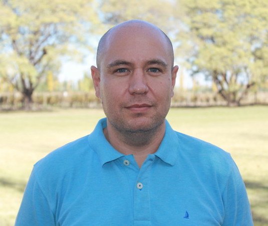
Co-Chair | ||
 | Rodrigo Gonzalez National University of Technology Rodriguez 273 Mendoza, M5502AJE ARGENTINA +54 261 5244563
| |
Secretary | ||
 | Elena Belcore Politecnico di Torino, Corso Duca degli Abruzzi, 24 10129 Torino ITALY +39 011 0907687
| |
Terms of Reference
- Promote open-source software utilization at both academic and professional levels, organizing webinars and seminars.
- Promote the development of open-source software based on best practices in the context of geospatial technologies.
- Cooperate with other Working Groups (e.g., those in Commission II, III and IV) and OSGeo for joint events and data sharing.
- Organize joint sessions on open-source, and invite authors of the latest and most popular opensource software to provide tutorials for open-source promotion.
- Co-organize webinars to help people learn and use geospatial technologies with the aid of open sources and Web-based resources.
- Co-organize summer schools for undergraduate and graduate students and events for members of public entities to promote the use of open-data.
- Collaborate with academic partners to introduce more use cases for teaching and education and industrial partners to adopt and propagate new technologies.
- Support students and young scientists to organize and manage joint workshops and conferences and support their local initiatives (e.g. YouthMappers).
- Promote special issues in ISPRS journals related to the topics of this WG.
- Increase the motivation among the students and researchers to use in a web-based resourcesharing environment.
WG V/3


