ISPRS WG I/2
Mobile Mapping Technology
Mission/Scope
ISPRS Working group I/2 aims at coordinating the research and development activities that address future trends of Mobile Mapping Systems (MMS), new areas of MMS applications and emerging processing techniques for geospatial data acquired with MMS. In particular, the WG will focus on mobile perception and machine understanding, data processing for (near-) real-time indoor and outdoor mapping, large scale mapping and industrial photogrammetry, investigating the use of artificial intelligence tools for automatic information extraction and machine interpretation of mobile mapping data.
To this purpose, the WG will lead the organization of the Mobile Mapping Technology Series which has been going on for almost 28 years. Furthermore, the WG provides (links to) publicly available datasets and organizes international comparative tests on the performance of algorithms for processing MMT for various emerging applications. Finally, the WG will continue to work closely with other WGs and ICWGs of Commission I, II and IV involved in the use of MMS and of geospatial data analysis and international organizations that have activities related to MMS such as FIG and IAG.
Working Group Officers | ||
Chair | ||
 | Andrea Masiero CIRGEO - Interdepartmental Research Center of Geomatics University of Padova Viale dell'Università 16 35020 Legnaro - Padova ITALY +39 049 827 2688 +39 049 827 2686
| |
Co-Chair | ||
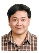
 | Kai-Wei Cheng Department of Geomatics, National Cheng Kung University No.1 Ta-Hsueh Road Tainan 701 TAIWAN +886 6 237 0876 ext. 829 +886 6 237 5764
| |
Co-Chair | ||
 | Chenglu Wen Xiamen University 422 Siming South Road Xiamen CHINA +86 0592 2580168
| |
Secretary | ||
 | You Li State Key Laboratory of Information Engineering in Surveying Mapping and Remote Sensing (LIESMARS) Wuhan University 129 Luoyu Rd Wuhan CHINA, 430079 +86 027 6877 9850
| |
Supporters | ||
Advisor | ||
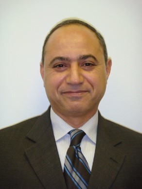
 | Naser El-Sheimy Department of Geomatics Engineering The University of Calgary 2500 University Dr. N.W. Calgary Alberta CANADA T2N 1N4 +1 (403) 220 7587 +1 (403) 284 1980
| |
Advisor | ||
 | Antonio Vettore CIRGEO - Interdepartmental Research Center of Geomatics University of Padova Viale dell'Università 16 35020 Legnaro – Padova ITALY +39 049 827 2688 +39 049 827 2686
| |
Advisor | ||
 | Xiaoji Niu GNSS Research Center Wuhan University Wuhan 430079 CHINA
| |
Advisor | ||
 | Hsiu-Wen CHANG JOLY - FRANCE
| |
Advisor | ||
 | Aboelmagd Noureldin Department of Civil, Environmental and Geomatics Engineering Florida Atlantic University 777 Glades Road EW 222, Boca Raton FL 33431-0991, Florida USA +1 561 297 3104
| |
Advisor | ||
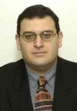
 | Marco Piras Department of Environment, Land and Infrastructure Engineering (DIATI) Politecnico di Torino C.so Duca degli Abruzzi 24 10129 Torino ITALY +39 011 090 7661
| |
Terms of Reference
- Design, development and evaluation of UAV, industrial sensor and terrestrial mobile sensor systems combined with vision metrology, large-scale 3D metrology, close-range photogrammetry
- Data processing for (near-) real-time indoor and outdoor mapping and industrial photogrammetry
- Mobile perception from mobile imaging and close-ranging sensor data
- Artificial intelligence tools (e.g. deep-learning based) for machine understanding and interpretation of mobile mapping data
- Development and performance evaluation of low-cost mobile mapping solutions
- Development of novel applications in virtual reality, GIS, transportation infrastructure mapping and assessment, including street pavement monitoring, and infrastructure asset monitoring and mapping, emergency response
- Development and test of cooperative navigation and mapping solutions
- Cooperation with ICA, IAG, FIG, and other ISPRS WGs on 3D mobile mapping; 3D object reconstruction and city modelling; sensor integration and multiple sensing solutions; and applications in LBS and disaster management.
WG I/2


