LuoJiaSET
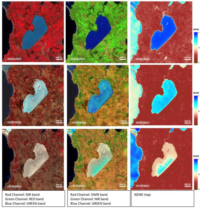
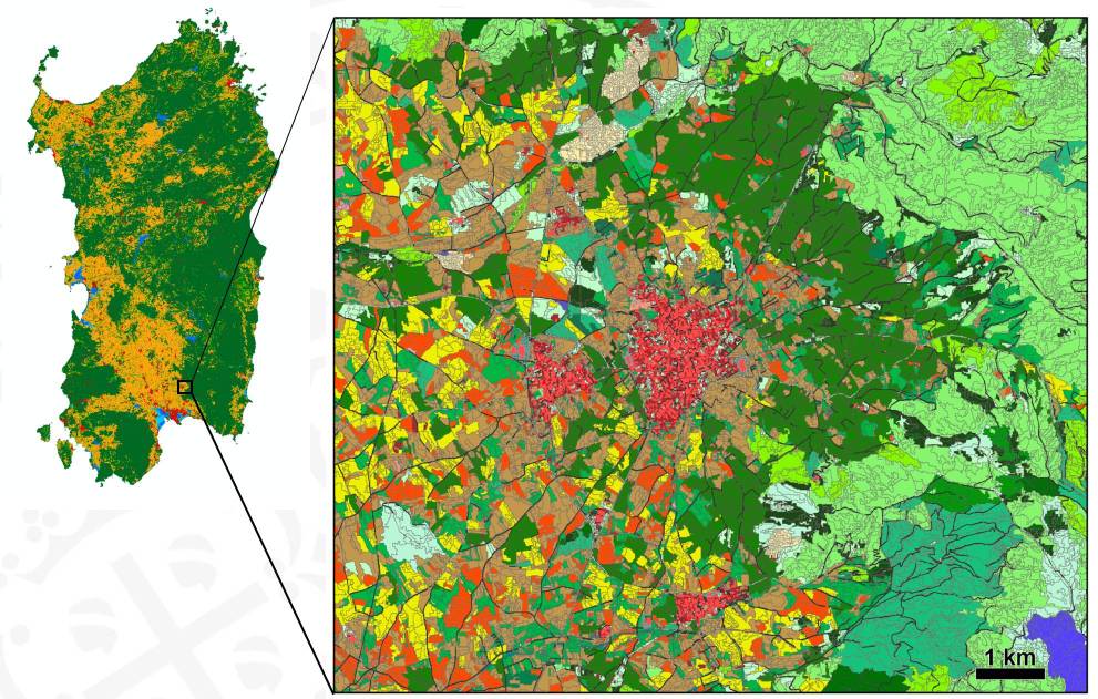
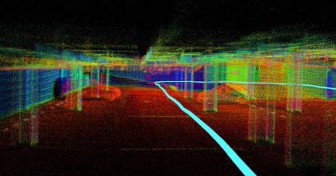
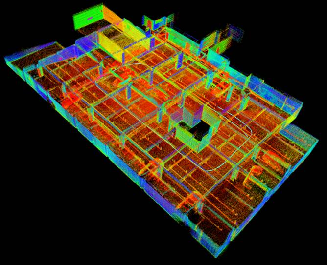
LuoJiaSET is an Open Training Data Hub for Remote Sensing (RS) deep learning (DL) method development. It supports various image-interpretation tasks including scene classification, object detection, land-cover/land-use classification, change detection, and multi-view stereo reconstruction.
LuoJiaSET currently hosts over 5 million training samples from over 80 open datasets. The training samples covers a wide range of data that are captured by different sensors (optical and SAR) and from different platforms (satellite and drone), and of different sizes (from 28×28 to 10,000×10,000 pixels) and spatial resolutions (from several centimeters to 30 meters).
The training samples are collected from several sources, including RS competitions, publications, Kaggle, blogs, and GitHub. Prior to use, all datasets have been preprocessed. Thus, LuoJiaSET provides a consistent classification system for all label semantics at scene-, object-, and pixel-level. The scene-level classification system has 9, 24, and 180 first-, second-, and third-level classes, respectively. The object-level system has 2, 10, and 117 first-, second-, and third-level classes, respectively. The pixel-level system has 9, 31, and 80 first-, second-, and third-level classes, respectively. More details about the classification systems can be found at http://58.48.42.237/luojiaSet/ClassResources.
The platform supports cross-dataset queries. Users can combine task types, datasets, sensors, classes, and spatial-resolution ranges to query samples across datasets. All training samples could be downloaded through the Web interface. Users can query and view the training-data profiles, including dataset volume, size, resolution, source, links, contact information, citation, and description, filter and select interested training samples, and submit a download request (login required). Once the request is confirmed by the administrator, the requested data will be extracted and compressed and users will be notified.
LuoJiaSET supports users to access training samples through RESTful APIs. The APIs are implementations of the draft OGC TrainingDML-AI standard. With these APIs, LuoJiaNET (http://58.48.42.237/luojiaNet) platform and other deep learning frameworks can directly access training data from LuoJiaSET. LuoJiaSET also provides a draft API implementation of the on-going OGC TrainingDML-AI standard (https://www.ogc.org/projects/groups/trainingdmlswg), allowing users to access training samples in an interoperable way.
LuoJiaSET is accessible at http://58.48.42.237/luojiaSet/ or http://geos.whu.edu.cn/luojiaSet/.
WG III/1

