ISPRS WG III/6
Remote Sensing of the Atmosphere
Our Mission
The Working Group on "Remote sensing of the Atmosphere" of the International Society for Photogrammetry and Remote Sensing (ISPRS) networks specialists in atmospheric remote sensing through several initiatives (meetings, publications, etc.). This concerns the development of remote sensing-derived observations of the atmosphere, their analysis and applications. If one of the members wishes to make an inventory on a particular subject, the ISPRS label gives increased legitimacy and publication channels. These initiatives can be taken in partnership with space agencies or other international organizations, other learned societies dedicated to related subjects or operational environmental management bodies.
Working Group Officers | ||
Chair | ||
 | Kai Qin China University of Mining and Technology, China Daxue Road 1 Xuzhou City Jiangsu Province CHINA 221116 +86 15950663287
| |
Co-Chair | ||
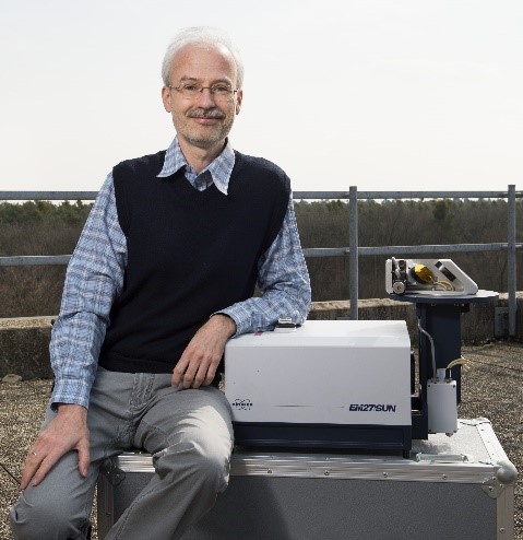
 | Frank Hase Karlsruhe Institute of Technology (KIT) - Institute of Meteorology and Climate Research (IMK-ASF), Germany Hermann-von-Helmholtz-Platz 1 76344 Eggenstein-Leopoldshafen GERMANY +49-7247-82-2434 49-7247-82-4742
| |
Co-Chair | ||
 | Simone Lolli Italian National Research Council (CNR-IMAA) Contrada S. Loja snc 85050 Tito Scalo (PZ) ITALY +39 3 892377731
| |
Secretary | ||
 | Ge Han Wuhan University Bayi Road 299 Wuhan City Hubei Province China 430072 CHINA +86 18086682787
| |
Supporters | ||
Advisor | ||
 | Juan Cuesta Laboratoire Universitaire des Systèmes Atmosphériques (LISA) Université Paris Est Créteil (UPEC), France 61 Av. Général de Gaulle 94010 Créteil FRANCE +33 1 82 39 20 64 +33 1 45 17 15 64
| |
Terms of Reference
- Develop remote sensing observations (from satellite, ground-based and airborne) of aerosols, pollutant and greenhouse gasses and clouds, relevant for air quality and climate evolution.
- Improve existing and develop new retrieval approaches for deriving atmospheric properties from measurements of radiometers, spectrometers, lidars, radars, etc from satellite, ground-based and airborne platforms.
- Develop novel satellite-based methodologies for inferring new atmospheric data products, such as surface concentrations of air pollutants (PM, O3, NO2, etc).
- Evaluate and validate satellite observations of atmospheric components by ground-based measurements and networks (AERONET, ACTRIS, TCOON, NDACC, etc).
- Improve the quality of satellite observations by making metrology and laboratory spectroscopy working groups aware of the needs of the atmospheric remote sensing community.
- Promote the applications of remote sensing data in chemistry-transport model communities, and develop data assimilation schemes and multi-instrument joint retrievals, thereby supporting better predictions and emission inventories.
- Build and maintain a partnership between ISPRS and AERSS (Atmospheric Environmental Remote Sensing Society)
WG III/6


