ISPRS WG II/5
Temporal Geospatial Data Understanding
Our Mission
The ISPRS working group (WG) II/5 promotes research on temporal geospatial data by bringing together photogrammetry, remote sensing, machine learning, and computer vision communities. In the last decade, there have been ever-increasing amounts of data at different spatio-temporal scales and resolutions, acquired from different platforms such as airplanes, satellites, autonomous vehicles, and unmanned aerial vehicles for photogrammetry and remote sensing applications. WG II/5 focuses on various applications such as land cover and land use change detection, deforestation mapping, dynamic scene understanding, mapping of the environment, and ocean and land surface monitoring.
Recent research has shown the advantages of modern machine/deep learning techniques to make the most of temporal and spatial structures in complex spatio-temporal data. While the prediction accuracy of the algorithms has improved, many challenges remain unsolved. For example, existing approaches struggle to handle irregular temporal and/or spatial sampling (e.g., 3D point clouds), fuse multi-modal temporal data (e.g., optical and radar) across different spatial resolutions (e.g., very high spatial resolutions), or perform long-term analysis. Moreover, modern deep learning approaches require a large amount of high-quality labelled data, which is both time-consuming and costly to collect. It is even worse for temporal analysis tasks that require labels through time (e.g., time series semantic segmentation). Although the last years have seen the development of novel techniques for semi-supervised, self-supervised, or transfer learning, they are usually applied to single images and do not cope with temporal data.
WG II/5 is fostering research in the field through the organisation of workshops and special issues. The WG will work closely with the other WGs, especially WG II/3 on 3D scene reconstruction for modelling & mapping and WG II/4 on AI/ML for geospatial data.
Working Group Officers | ||
Chair | ||
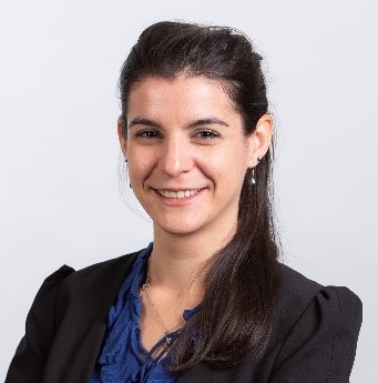
 | Charlotte Pelletier Institute for Research in IT and Random Systems (IRISA) Université Bretagne Sud Vannes FRANCE
| |
Co-Chair | ||
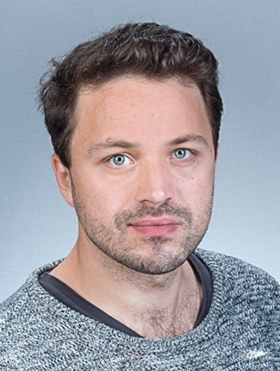
 | Michael Ying Yang ITC - Faculty of Geo-Information Science and Earth Observation University of Twente Enschede THE NETHERLANDS
| |
Co-Chair | ||
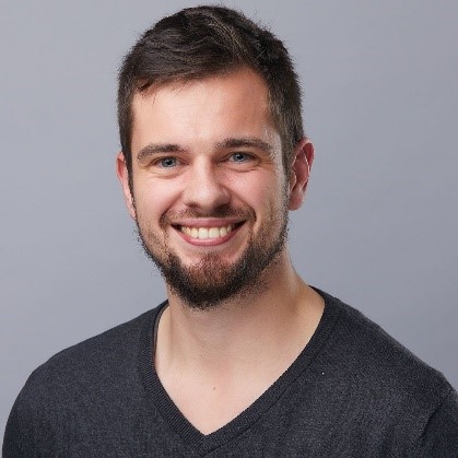
 | Loic Landrieu IMAGINE/LIGM École des Ponts ParisTech 6-8, Av Blaise Pascal – Cité Descartes Champs-sur-Marne 77455 Marne-la-Vallée cedex 2 FRANCE
| |
Secretary | ||
 | Marc Rußwurm Laboratory of Geo-information Science and Remote Sensing Wageningen University P.O. Box 9101 6700 HB Wageningen THE NETHERLANDS
| |
Supporters | ||
Supporter | ||
 | Wen Xiao China University of Geosciences Wuhan CHINA
| |
Supporter | ||
 | Alber Sánchez Instituto Nacional de Pesquisas Espaciais (INPE) São José dos Campos BRAZIL
| |
Terms of Reference
- Classification and change detection in image time-series and/or 3D point clouds
- Dynamic scene understanding from image sequences
- Detection, reconstruction, classification and tracking of objects in image/lidar sequences
- Event reconstruction and scene analysis from single and multiple image/lidar streams
- Multi-source, multi-view, multi-temporal, multi-modal image analysis
- Machine learning and deep learning for time-series data
WG II/5


