ISPRS ICWG IV/III/II
Openness in Geospatial Science and Remote Sensing
Our Mission
This ISPRS Intercommission Working Group (ICWG) aims to promote the development, adoption and use of technologies, policies, approaches and practices in support of Open Innovation in the domains of Geospatial and Remote Sensing.
Open Innovation is a model for innovation that supports collaboration and fosters a culture of experimentation. The availability of open geospatial and remote sensing data, software and standards has seen unprecedented growth in recent years and new geospatial and remote sensing digital technologies are being steadily integrated into the everyday lives of people, businesses and governments, creating opportunities for new forms of participatory collaboration relationships between these actors in a variety of application domains. The landscape of Openness in Geospatial and Remote Sensing is diverse, and ranges from legal interventions in the field of Spatial Data Infrastructures (SDIs) such as in the case of the European INSPIRE Directive, to publicly-funded programmes like Copernicus, international initiatives such as the Group on Earth Observation (GEO), research approaches fostering open science, and community-led projects such as Pangeo and OpenStreetMap. The concept of Openness is based on three main elements: Accessibility (of data, software, standards and information), Inclusiveness (growing participation of diverse communities and partnerships between different actors: public sector, private sector, academia and citizens), and Reproducibility (effective sharing and reuse of resources and collaboration through open software tools, frameworks, libraries and open infrastructures).
Openness helps improve access, use, re-use, and delivery of trustworthy information and data, shape new policies and enrich delivery of services for societal needs, more openly and transparently. As an Intercommission WG located at the intersection between ISPRS Technical Commissions III, IV and V, our mission will focus on promoting the development of technologies and approaches to support Open Innovation in Geospatial and Remote Sensing, together with building capacity and growing communities of practice, and strengthening the links between relevant communities in the field of open geospatial data, open source software development, open geospatial standards and geosciences.
Working Group Officers | ||
Chair | ||
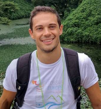 | Marco Minghini European Commission - Joint Research Centre (JRC) Digital Economy Unit Via Enrico Fermi 2749 21027 Ispra ITALY
| |
Co-Chair | ||
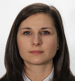 | Anca Anghelea Department of Science, Applications and Climate D/EOP, European Space Agency Largo Galileo Galilei 1 00044 Frascati ITALY
| |
Co-Chair | ||
 | Silvana Camboim Department of Geomatics Universidade Federal do Paraná Centro Politécnico CEP 81.531-990 Curitiba, Paraná BRAZIL
| |
Secretary | ||
 | Bolelang Sibolla Council for Scientific and Industrial Research Meiring Naudé Road, Brummeria PO Box 395 Pretoria 0001 SOUTH AFRICA
| |
Supporters | ||
Advisor | ||
 | Timur Obukhov UN Geospatial, Office of Information and Communications Technology United Nations 1 UN Plaza New York, NY 10017 USA
| |
Terms of Reference
- Review the scientific and technological state of the art of openness (data, software, infrastructures, standards, policies and initiatives) in domains relevant to Geospatial and Earth Observation.
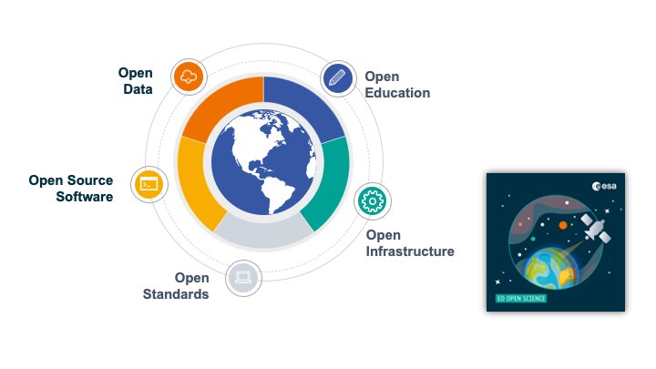
- Advance knowledge in the investigation of technological, social, organisational and legal enablers and barriers for the development of open approaches in the Geospatial and Earth Observation domains, pertaining to open data, open source software, open standards, open education and research, across three dimensions: accessibility, inclusiveness and reproducibility.
- Promote the notions of open science and reproducibility of research in the domains of geospatial information science and remote sensing through the design, development and test of guidelines and best practices and by showcasing reference approaches.
- Design and support the establishment of approaches and good practices to increase awareness, adoption and engagement of the wider community in the fields of Geospatial and Earth Observation through open education and outreach (e.g. capacity building, open competitions, hackathons, etc.).
- Foster communication and exchange between stakeholders and practitioners belonging to different user groups (academia, public sector organisations, data providers, businesses, standardisation bodies, humanitarian organisations, etc - all involved in the ICWG.) in order to facilitate understanding of common problems, develop and disseminate shared solutions and good practices.
- Design and support educational and training activities in the domains of geospatial and remote sensing through dedicated events (e.g. webinars and workshops) and by sharing openly accessible educational material.
- Promote collaboration between all ISPRS Working Groups under Technical Commissions III (Remote Sensing), IV (Spatial Information Science) and V (Education and Outreach).
- Establish collaboration with relevant external organisations and initiatives in the policy, innovation and research fields relevant to Openness in Geospatial and Remote Sensing, including: the Open Source Geospatial Foundation (OSGeo) and its educational committee (GeoForAll); the Copernicus Programme; national and intergovernmental bodies and space agencies and their relevant programmes and initiatives on Open Science (e.g. ESA, NASA TOPS, United Nations, CEOS, etc.); OpenStreetMap (OSM) communities; the Humanitarian OpenStreetMap Team (HOT); the Open Geospatial Consortium (OGC); the Group on Earth Observation (GEO) and its European counterpart EuroGEO, in particular the GEO Data Working group; the International Cartographic Association (ICA) - Commission on Open Source Geospatial Technologies and Commission on SDIs and Standards; the YouthMappers initiative; the INSPIRE community; the Pangeo community.
- Promote special issues within the ISPRS International Journal of Geo-Information and other relevant scientific journals as well as books, reports and conference proceedings of events related to openness in geospatial and remote sensing.
ICWG IV/III/II
