Open Data
A Global Catalog LU1319373 of Lunar Craters (≥ 1 km)
A global crater catalog LU1319373 that includes approximately 1.32 million lunar craters with diameters ≥ 1 km. The crater catalog also include 3D morphometric data on the craters.
This version of the crater catalog LU1319373 includes the following information for each crater:
- Longitude and latitude coordinates of the center;
- Crater diameter;
- Crater depth.
The lunar crater catalog LU1319373 can be downloaded from here.
Please cite the following reference for using the crater catalog LU1319373.
Wang, Y., Wu, B., Xue, H., Li, X., Ma, J., 2021. An improved global catalog of lunar impact craters (≥1 km) with 3D morphometric information and updates on global crater analysis. Journal of Geophysical Research: Planets, 126, e2020JE006728.
A Global Database of Pitted Cones on Mars for Research on Martian Volcanism
A Mars global database contains 250,547 pitted cones along with their central coordinates and diameters.
94.2% of the pitted cones have diameters ranging from 100 m to 1 km. Most of them are in the northern lowlands, while some are scattered in the southern highlands. This global database can facilitate further research on the origin and evolution of pitted cones on Mars.
The data records of the global database can be downloaded from here.
Please cite the following reference for using the Mars cone database.
Z. Chen, B. Wu, S. Krasilnikov, W. Xun, Y. Ma, S. Liu, Z. Li, 2024. A Global Database of Pitted Cones on Mars for Research on Martian Volcanism, Scientific Data, 11, 942.
Rock Measurements at Zhurong Landing Site on Mars
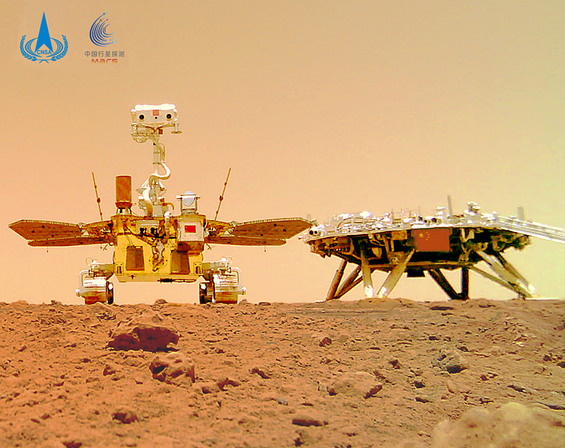
The dataset includes ortho-image mosaics and rock measurements at the Zhurong landing site on Sols 3-6 and Sol 40.
The ortho-image mosaics were generated by photogrammetric processing of the stereo images taken by the Navigation and Terrain Camera (NaTeCam) onboard the Zhurong rover. Based on the ortho-image mosaics, rocks (≥ 5 cm) were measured with their diameters and areas, which indicated a rock abundance of ~ 5% at the Zhurong landing site. Details can be found in the related publication (Chen et al., 2022).
The dataset can be downloaded from here.
Please cite the following reference for using the rock dataset.
Chen, Z., Wu, B., Wang, Y., Liu, S., Li, Z., Yang, C., Dong, J., Rao, W., 2022. Rock abundance and erosion rate at the Zhurong landing site in southern Utopia Planitia on Mars. Earth and Space Science, 9, 8, e2022EA002252.
3D Rocks at the Zhurong Landing Site on Mars
The dataset includes 3D rocks (point clouds) with various 2D/3D morphological features at the Zhurong landing site on Sols 30-31, 64-65, 103-104, 172-173, 204 and 259-260, and the associated digital elevation models (DEMs).
The 3D point clouds were initially generated by photogrammetric processing of the stereo NaTeCam images taken by the Zhurong rover, and then was resampled from the triangular irregular network with a fixed step to generate a new 3D point cloud with even density. 3D points corresponding to rocks were further extracted and clustered as connected components. In total, 6,185 centimeter-scale rocks were extracted as 3D point clusters through the concavity-based watershed and morphological refinement. Details can be found in the related publication (Li et al., 2023).
The dataset can be downloaded from here.
Please cite the following reference for using the rock dataset.
Li, Y., Xiao, Z., Ma, C., Zeng, L., Zhang, W., Peng, M., Li, A., 2023. Extraction and analysis of three-dimensional morphological features of centimeter-scale rocks in Zhurong landing region. Journal of Geophysical Research: Planets, 128, e2022JE007656.
Maps of Ganymede: New Control Point Network, Global Mosaic, DEMs
Set of multilingual maps of Ganymede based on photogrammetric processing of the best images provided by different space missions to Jupiter system – Voyager -1,2, Galileo and JUNO.
The previous control point network (CPN) of Ganymede was updated, and now includes more than 2,050 points. Based on updated CPN, a new mosaic and local DEMs with a vertical resolution of better than 1 km were obtained. Using these data multilingual maps of Ganymede were created: a global map (with equatorial and polar regions) and detailed large scale maps of selected sites of interest (surroundings of Tros crater, Phrygia Sulcus and Enki catena). Details can be found in the related publications (Zubarev et al., 2022; Melnikova et al., 2022).
The maps can be downloaded from here.
Please cite the following references for using the maps:
M.A. Melnikova, V.A. Nerusin, A.E. Zubarev, I.E. Nadezhdina, A.Yu. Zharkova, N.A. Slodarzh, 2022. New global mosaic of Ganymede, detailed DEMs and maps. 13th Moscow Solar System Symposium, Space Research Institute (IKI), 13MS3-GP-PS-03, p. 209.
A.E. Zubarev, I.E. Nadezhdina, N.A. Slodarzh, 2022. Updated Ganymede control point network based on JUNO mission data. 13th Moscow Solar System Symposium, Space Research Institute (IKI), 13MS3-GP-02, p. 202.
ICWG III/II


