ISPRS WG II/8
Environmental & Infrastructure Monitoring
Our Mission
We live in a constantly changing world where our Earth faces the consequences of climate change on the environment. Also, high population growth combined with the massive urbanization in recent decades requires cities to have sustainable management plans. While the sustainability of cities is a central issue in the developed world, in many regions this condition is threatened by the urban environment's considerable worsening. Consequently, continuous monitoring of natural and urban environments is needed in order to evaluate their evolution and dynamics. This enables to generate strategies that will lead to actions to achieve sustainable development.
Advances in sensing technology allow us to capture environmental and infrastructure data with a new level of efficiency and effectiveness, particularly using photogrammetry, laser scanning, and remote sensing strategies. Rapid advancements in sensing and data acquisition technologies, algorithmic design, and geospatial-temporal analysis have proven essential for decision support. These new capabilities have changed data collection and information extraction processes, posing new possibilities but also challenges, with the potential to provide much-needed resources to address many pressing problems in the world efficiently.
WG8 aims to promote scientific research and links with industry to provide solutions for environmental and infrastructure monitoring using photogrammetric and remote sensing techniques and methods from computer vision, artificial intelligence, geoinformatics, and more for mapping and deformation tracking. We will work with data acquired from spaceborne, airborne, UAVs, LiDAR and ground-based platforms at different spatial and temporal scales. In addition, we consider vision-based biomedical research as a part of environmental monitoring, so one of the aims of WG8 is to develop new approaches, methods, and systems for biometry and biomedicine. Our efforts will be focused on providing the platform and possibilities for sharing state-of-the art techniques and results in the field of biomedical data processing and analysis. As a consequence, workshops and meetings will be organized with different foci on environmental and infrastructure monitoring, respectively. Assistance will be provided for summer schools with other WGs from developing and developed countries. WG8 will closely coordinate its activities within TCII as well as with other WGs to enhance the capabilities of the group.
Working Group Officers | ||
Chair | ||
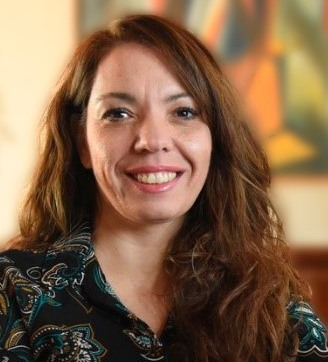 | María Gabriela Lenzano Andean Geomatics Lab Argentine Institute of Nivology, Glaciology and Environmental Sciences National Scientific and Technical Research Council Av. Ruiz Leal s/n. Parque Gral. San Martín. Mendoza ARGENTINA +54 261 5244226/4243
| |
Co-Chair | ||
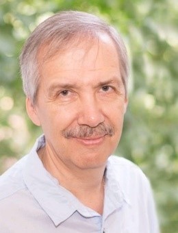 | Vladimir Knyaz Machine vision department State research Institute of Aviation Systems 7, Victorenko str. Moscow RUSSIA +7 499 157 3127
| |
Co-Chair | ||
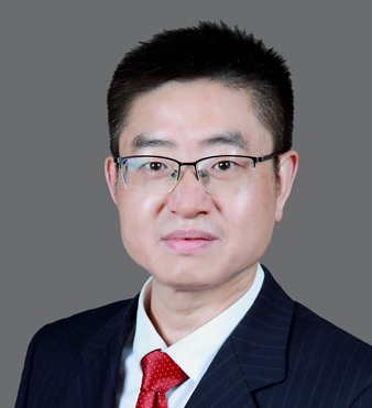 | Zhenfeng Shao State Key Laboratory of Information Engineering in Surveying, Mapping and Remote Sensing Mapping and Remote Sensing Wuhan University Luoyu Road Wuhan city of Hubei Province, 430079 CHINA +86 27 15827188114
| |
Secretary | ||
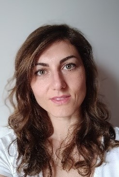 | Nives Grasso Department of Environment, Land and Infrastructure Engineering (DIATI) Politecnico di Torino C.so Duca degli Abruzzi 24 10129 Torino ITALY +39 011 090 7687
| |
Supporters | ||
Supporter | ||
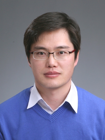 | Changjae Kim Myongji University, Korea Department of Civil and Environmental Engineering 116 Myongjiro Cheoin-gu Yongin 17 KOREA +82-31-330-6474
| |
Terms of Reference
- Promote the use of highly accurate tools and efficient technology to achieve geometric deformation tracking in the urban and natural environment as well as infrastructure.
- Promote the study, development, and application of algorithms to solve problems in environmental (natural and urban) as well as infrastructure monitoring accurately and precisely, respectively.
- Evaluate the performance and robustness of methods through the processing of different 2D-3D geospatial datasets to achieve a better description, mapping, and monitoring of the environment.
- Study and analyze optimal and precise solutions according to the capabilities and challenges of the various remote sensing platforms. Address errors and their impact on the resulting processing.
- Promote the development of new approaches and methods for biomedical data processing and analysis to improve monitoring and diagnostics and provide valuable results in biometry and biomedicine.
WG II/8
