ISPRS ICWG II/Ia
Autonomous Sensing Systems and their Applications
Mission
This ISPRS Inter Commission Working Group (ICWG) addresses the developments of autonomous mobile sensing and mapping systems and their use in the next generation of Geospatial applications. This working group is at the interface with other communities keen on developing the next generation of drones, such as robotics and computer science.
The focus is on the advancements both in sensors and in the algorithms embedded in flying and in terrestrial and underwater platforms navigating in outdoor and confined/indoor spaces. Topics of interest are the development of real-time drone remote sensing analytics algorithms considering edge/fog/cloud computing, innovative georeferencing techniques, deep learning algorithms for situational awareness and autonomous navigation and exploration, as well as collaborative and swarm SLAM algorithms. Lightweight, energy-efficient, replicable hardware and software solutions as well as their embedding in larger networks of sensors are particularly of interest for this ICWG. A specific focus is given to BVLOS solutions and the use of autonomous platforms in urban and rural environments. The ICWG addresses different monitoring and surveying tasks in the Geospatial domain performed by innovative autonomous platforms such as precision farming, disaster mapping, cultural heritage survey, natural environment and infrastructure monitoring.
Working Group Officers | ||
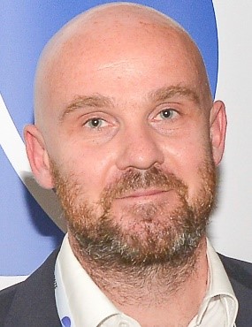
Chair | ||
 | Francesco Nex University of Twente ITC Faculty Hengelosestraat 99 7514 AE Enschede NETHERLANDS +31 (0)6 534896639
| |
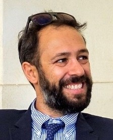
Co-Chair | ||
 | Filiberto Chiabrando Politecnico di Torino Laboratory “Geomatics for Cultural Heritage” (G4CH) Department of Architecture and Design - DAD Viale Mattioli 39 10125 Torino ITALY +390110904338
| |
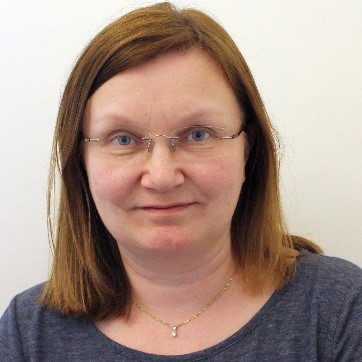
Co-Chair | ||
 | Eija Honkavaara Finnish Geospatial Research Institute FGI Vuorimiehentie 5 02150 Espoo FINLAND +357 40 192 0835
| |
Secretary | ||
 | Taejung Kim Dept. Geoinformatic Engineering Inha University 100 Inha Road Michuhol-Gu Incheon FRENCH GUYANA +82-32-860-7606
| |
Supporters | ||
Advisor | ||
 | Costas Armenakis Dept. of Earth & Space Science & Engineering York University 4700 Keele Str. Toronto, Ontario CANADA +1 416 736 2100
| |
Supporter | ||
 | Henry Meißner German Aerospace Center Rutherfordstraße 2 12489 Berlin GERMANY +49 30 67055 540
| |
Terms of Reference
- Drones, ground and underwater autonomous systems
- Autonomous path planning, SLAM, navigation and VLOS/BVLOS exploration
- Edge, fog and cloud computing for real-time scene understanding
- Collaborative and swarm platforms for Geospatial applications
- Heterogenous data collection from drones (e.g. climate sensors)
- Next-generation autonomous platform applications
- Innovative active and passive sensors embedded on autonomous platforms
- Dissemination of learning and teaching material on the use of Autonomous Sensing Systems and their Applications in Academia
- Collaboration with other scientific communities and associations involved in Autonomous Sensing Systems and their Applications (EuroSDR, robotics, computer vision, electronics, etc.)
- Cooperation and involvement of industrial partners in ISPRS activities
ICWG II/Ia


