ISPRS WG II/4
AI/ML for Geospatial Data
Our Mission
ISPRS Working Group II/4 aims at promoting machine learning methods to process, analyze, and interpret geospatial data. Nowadays, a large number of sensors provide an ever-increasing amount of observations at various scales and resolutions, making the processing pipelines strive for efficient and powerful methods to extract valuable geometric and semantic information from the data. Geospatial data such as imagery and point clouds can be collected not only as part of specific aerial/satellite imaging campaigns and mobile mapping but also from publicly available datasets such as OpenStreetMap. This is challenging because data is large and comes with noise, limited labels, and wide biases. Future challenges include the integration of domain knowledge, the extraction of new scientific knowledge, and the combination of multiple complementary views (e.g., street view panoramas and aerial images) from different sensors and campaigns, but also the combined use of different data types (e.g., text and images).
This WG fosters collaboration between the Photogrammetry & Remote Sensing and the Computer Vision & Machine Learning communities. Organized workshops at ISPRS events and CV & ML conferences that address the challenges at the intersection of these communities promote mutual awareness and knowledge exchange. This WG will closely collaborate with other WGs such as WG II/5 ‘Temporal Geospatial Data Understanding’ and sister organizations such as IAPR and IEEE IADF.
Working Group Officers | ||
Chair | ||
 | Ribana Roscher Rheinische Friedrich-Wilhelms-Universität Bonn Niebuhrstr. 1a 53113 Bonn GERMANY +49 228 73 60854
| |
Co-Chair | ||
 | Devis Tuia Environmental Computational Science and Earth Observation School of Architecture, Civil and Environmental Engineering Ecole Polytechnique Fédérale de Lausanne 1950 Sion SWITZERLAND
| |
Co-Chair | ||
 | Jefersson A. dos Santos Department of Computer Science University of Sheffield Regent Court, 211 Portobello, Sheffield City Centre, Sheffield S1 4DP UNITED KINGDOM
| |
Secretary | ||
 | Maria Vakalopoulou MICS Laboratory University of Paris-Saclay CentraleSupélec, Gif-sur-Yvette, France, 91190 FRANCE
| |
Supporters | ||
Supporter | ||
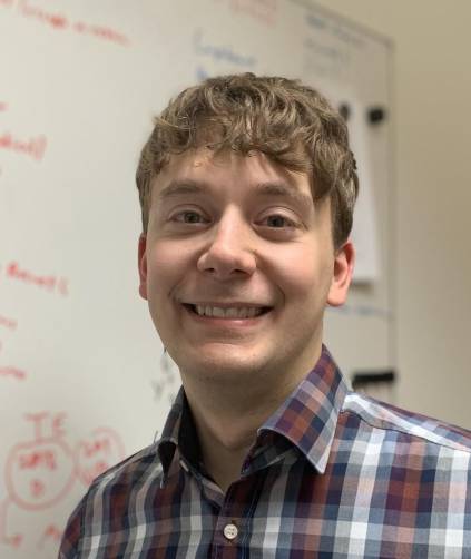 | Michael Kampffmeyer UiT Machine Learning Group Department of Physics and Technology UiT The Arctic University of Norway 9019 Tromsø NORWAY
| |
Terms of Reference
- Machine learning, deep learning
- Analysis and interpretation of geospatial data
- Scene classification, semantic (instance) segmentation, object detection
- Unsupervised, supervised, weakly supervised, transfer, self-supervised learning
- Human-in-the-loop learning
- Multi-view, multi-modal learning
- Precision agriculture, environmental/urban monitoring
- Biases analysis, interpretability and explainability of machine learning models
WG II/4
