ISPRS WG II/7
Underwater Data Acquisition and Processing
Our Mission
ISPRS Working Group II/7 wants to contribute to the global goals for an ocean science for sustainable development, by fostering geomatic methods for through- and under-water data acquisition and processing.
WG II/7 will promote an interdisciplinary exchange in the fields of environmental monitoring and ecology, heritage recording, industrial measurement and hydrodynamics, with a view to increase our current knowledge of the underwater world and its response and resilience to, and impact on climate change. For this purpose, WG II/7 will boost the development, testing and operability of 3D image and range-based sensors and techniques for measurement and virtualization of inland, coastal and open sea underwater environments, also through the effective use of autonomous and human guided vehicles.
WG II/7 will organise and support in-presence and on-line workshops and events on through- and under-underwater photogrammetry and related disciplines, seeking for contributions of experts from the marine archaeology, engineering, robotics, marine science, fisheries and aquaculture communities. WG II/7 activities include collecting, organising and sharing benchmark datasets to stimulate genuine competition between researchers towards innovative solutions to problems relevant to the community. To make its actions more effective, WG II/7 will work in close collaboration with ICGW II/I and the other WGs from TCII.
Working Group Officers | ||
Chair | ||
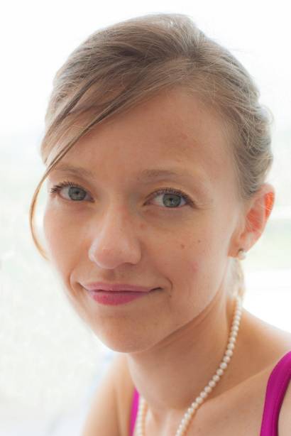 | Erica Nocerino Dept. of Humanities and Social Sciences University of Sassari Via Roma, 151 07100 Sassari ITALY
| |
Co-Chair | ||
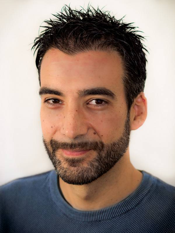 | Fabio Menna Department of Chemical, Physical, Mathematical and Natural Sciences Università degli Studi di Sassari Via Piandanna 4 07100 Sassari ITALY
| |
Co-Chair | ||
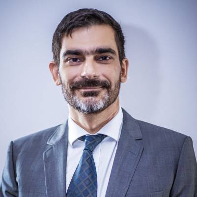 | Dimitrios Skarlatos Dept. of Civil Eng. & Geomatics Cyprus University of Technology 30 Arch. Kyprianos Str. 3036 Limassol CYPRUS +357 25002360
| |
Secretary | ||
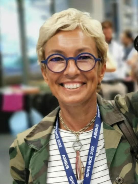 | Caterina Balletti Cartography and Gis Lab Department of Architecture S. Croce 191 30135 Venezia ITALY +39 041 2571509
| |
Supporters | ||
Supporter | ||
 | Gottfried Mandlburger TU Wien Department of Geodesy and Geoinformation Research Unit Photogrammetry E120.7 Wiedner Hauptstraße 8/E120 1040 Vienna AUSTRIA +43 1 58801 12235
| |
Supporter | ||
 | Panagiotis Agrafiotis National Technical University of Athens School of Rural, Surveying and Geoinformatics Engineering Laboratory of Photogrammetry 9 Iroon Polytechneiou Str. - 157 80 Zographou, Athens GREECE +30 2107722687
| |
Terms of Reference
- Geometric and stochastic modelling of multimedia geometry for underwater image and range measurements
- Definition of best practice for geometric calibration, colour correction and restoration, validation of systems for underwater 3D measurements
- Combined above-water, through-water and underwater techniques for 3D modelling and mapping of coastal habitat
- Lidar and photo bathymetry for seafloor and water surface measurement
- AI-driven solutions for through-water, underwater and habitat mapping applications
- Algorithms and methods for underwater localization, navigation and mapping, including augmented and virtual reality applications
- Sensors’ integration and performance evaluation of UUVs (ROVs and AUVs), towed vehicles and diver operated systems
- Underwater applications and methods in archaeology, habitat mapping and monitoring, industrial metrology and inspections, volumetric reconstruction for flow tracking
WG II/7


