ISPRS Education and Capacity Building Initiatives
List:
- 2024, From forests to 3D digital models: training new generations on 3D geodata surveying and analysis (3DForTrain), Coorperation
Education and Capacity Building Initiatives
From forests to 3D digital models: training new generations on 3D geodata surveying and analysis (3DForTrain)
PI: Francesco Pirotti and Erico Kutchartt (University of Padova, Italy)
CoIs: Monica Herrero-Huerta (University of Salamanca, Spain), Roberto Pierdicca (Università Politecnica delle Marche, Italy), Xinlian Liang (Wuhan University, China), Hans-Gerd Maas (Dresden University of Technology, Germany), Thomas Zieher (Austria Research Centre for Forests, Austria)
The purpose of the funding for 3DForTrain is to support the creation of a training process and framework for using close-range sensing methods in forest environments to extract information from collected 3D data.
Classical sampling in agro-forest environments requires a lot of effort due to the measurements requiring the operators to physically reach the objects to measure manually - vegetation height (H), tree diameters at breast height (DBH), canopy base height from ground (CBH), just to mention a few. Trivially, forests and in general parcels with vegetation are not fully “access-friendly” in the sense that they are not easy to reach, and movement of personnel and instrumentation is hindered by complex terrain and/or vegetation thickness.
Surveying using mobile platforms, and photogrammetry + laser scanning sensor is completely changing the approach of forest professionals and operators. Geoinformation from aerial, rover, static, or portable sensors allows operators to analyse data in the office after processing. Be it imagery for photogrammetric 3D modelling or point clouds from aligned scans.
It is well known that there is a lag in the time it takes for professionals to commit to new technologies with respect to when these technologies reach the market. For this reason, we propose 3DForTrain for building capacity through surveying with photogrammetry and laser scanning and successive data extraction from 3D models in forest environments. The trainees will be both university students that are following a programme that lacks courses on these disciplines and also professional operators that want to adopt new technologies in their working environment, as well as PhD candidates starting their careers. The proposed activities will include a month-long mentoring period alongside a surveying campaign in San Vito di Cadore, Italy (Figure 1). 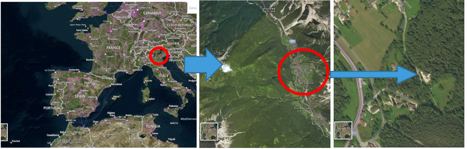
Figure 1. Training area and facilities, “Centro Studi per l'Ambiente Alpino” - Study Center for Ecology in the Alpine Space.
Trainees will learn to define and carry out a protocol for collecting 3D models in a forest, along with measuring forest parameters, and then model shapes and information in the office via the digital models. As a long-term product, the activity will produce a small manual with the protocol for defining the optimal steps for surveying a forest area using remote/close-range sensing. This protocol can be a stepping stone for other educational activities in this direction.
WG III/1


