International Remote Sensing Summer School, 2023
Experiencing Remote Sensing on Sardinia inland site: Advanced summer school on instruments and methodology for a CAL/VAL site for Optical data. First edition.
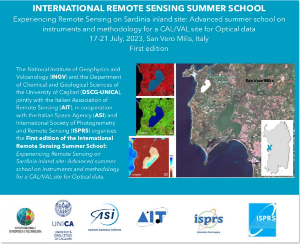
San Vero Milis, Oristano, Italy
Jul. 17-21th, 2023
The National Institute of Geophysics and Volcanology (INGV) and the Department of Chemical and Geological Sciences of the University of Cagliari (DSCG-UNICA), jointly with the Italian Association of Remote Sensing (AIT), in cooperation with the Italian Space Agency (ASI) organized the First edition of the International Remote Sensing Summer School: Experiencing Remote Sensing on Sardinia inland site: Advanced summer school on instruments and methodology for a CAL/VAL site for Optical data.
PURPOSE:
The school aimed to propose a candidate spot in western Sardinia as Calibration/Validation site for hyperspectral satellite data
During the school, through the collection of radiometric, atmospheric and topographic data from direct measures and proximal sensing (field spectroradiometer, optical, thermal, and Lidar sensors from UAVs), the site was characterized, and its candidature discussed. The geologic and physiographic description of the site was explained, and the collection of the rock/mineral samples for their spectral characterization will be proposed. The school introduced the students to the principles of radiometric data processing through guided activities into the handling and understanding of the data collected in the field.
SUMMER SCHOOL PROGRAMME:
The School was organized in 5 days of activities., starting on Monday 17 at 4:00pm and closing on Friday 21 at 2pm.
The activities were based on the collection of suitable data in the field and their first processing. During each day, in the morning the activities dedicated to the measures with sensors (e.g. on-board of UAVs and field spectral instrumentation) have been carried out, and in the afternoon the students were guided on the processing of the data collected in the field.
ATTENDANCE:
The school was open to early career scientists or employers, such as Ph.D. students, young post-doctoral scientists, technicians specialized in Earth Sciences and Remote Sensing disciplines, wishing to expand and improve their knowledge and skills on EO.
25 selected international students attended the school.
ORGANIZATION BOARD:
Maria Teresa Melis, DSCG-UNICA
Massimo Musacchio, INGV
Stefano Andreucci, DSCG-UNICA
Andrea Buono, University Parthhenope, Naples
Stefano Naitza, DSCG-UNICA
Deodato Tapete, ASI
SCIENTIFIC BOARD:
Stefano Andreucci, DSCG-UNICA
Enrico Borgogno Mondino, AIT
Giovanni Battista De Giudici, DSCG-UNICA
Maria Antonietta Dessena, AIT
Nicola Famiglietti, INGV
Michal Gallay, Pavol Jozef Šafárik University in Košice (UPJŠ), Slovakia
Lorenzo Guerrieri, INGV
Ján Kaňuk, Pavol Jozef Šafárik University in Košice (UPJŠ), Slovakia
Liang Xinlian, Wuhan University, Wuhan, CHINA
Enrica Marotta, INGV
Maria Teresa Melis, DSCG-UNICA
Maurizio Migliaccio, University Parthhenope, Naples
Massimo Musacchio, INGV
Stefano Pignatti, IMAA-CNR
Stefano Naitza, DSCG-UNCA
Laura Pioli, DSCG-UNICA
Malvina Silvestri, INGV
Deodato Tapete, ASI
Sergio Teggi, University of Modena and Reggio Emilia
DSCG-UNICA STAFF ORGANIZATION:
Marco Casu
Claudia Collu
Francesco Dessì
Salvatore Noli
Costantino Pala
SPONSORSHIP:
Italian Association of Remote Sensing -AIT
Italian Space Agency-ASI
National Institute of Geophysics and Volcanology -INGV
International Society of Photogrammetry and Remote Sensing - ISPRS
University of Cagliari - UNICA
Municipality of San Vero Milis
SHORT REPORT
The desert setting of this stunning location welcomed 25 students from around the world, accompanied by a group of specialists from the National Institute of Geophysics and Volcanology, coordinated by Massimo Musacchio and Erica Marotta; the Italian Space Agency, represented by Tapete Deodato; the University of Kosick in Slovakia, under the supervision of Jan Kanuk; and the Department of Chemical and Geological Sciences of the University of Cagliari, coordinated by Maria Teresa Melis. The school is supported by the Italian Remote Sensing Association (AIT) and the International Association of Photogrammetry and Remote Sensing (ISPRS), which ensured international dissemination of the initiative.
Mayor Luigi Tedeschi opened the proceedings in the welcoming spaces of the Council Chamber, carefully decorated by his colleagues from the Municipality. The importance of this initiative for the Oristano area was emphasized by the mayor, who strongly supported it. Lorenzo Pinna, Mayor of Riola Sardo, welcomed the participants, paying particular attention to the presence of young people.
The study days began with field surveys using direct and drone-mounted sensors. The students were able to observe the flights of new drone data acquisition systems capable of carrying large sensors for the geological and topographic spectral characterization of the pond's surface.
The high temperatures did not dampen the students' interest and enthusiasm for these new technologies, and a close-knit group was quickly formed, capable of disseminating and further exploring the applied methodologies in their home locations in the future.
The University of Cagliari staff, composed of Salvatore Noli, Francesco Dessì, Claudia Collu, Marco Casu, and Mariana Correa, were particularly attentive in engaging the students, who were curious about the natural beauty this site offers.
The initial results of the activities carried out confirm the site's potential for space exploration and, as emphasized by Professor Stefano Naitza, suggest the need to deepen our understanding of the recent geological history of this unique inland basin.
WG III/1


