ISPRS WG III/7
Remote Sensing of the Hydrosphere and Cryosphere
Our Mission
To promote use of remote sensing and its applications in the field of hydrosphere and cryosphere and, explore new advanced techniques and sensors for better understanding of hydrological and cryosphere processes in changing environment.
Working Group Officers | ||
Chair | ||
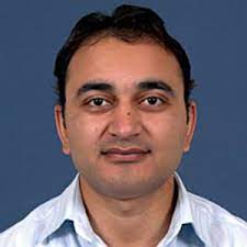 | Praveen Kumar Thakur Water Resources Department Indian Institute of Remote Sensing Indian Space Research Organisation 4, Kalidas Road Dehradun - 248 001, Uttarakhand INDIA +91-135-2524162
| |
Co-Chair | ||
 | Beata Csatho Department of Geology College of Arts and Sciences University at Buffalo, SUNY 126 Cooke Hall Buffalo, NY, 14260-1350 USA +1 716-645-4325
| |
Co-Chair | ||
 | Jean-Michel Martinez Institut de recherche pour le Développement Géosciences Environnement Toulouse Institute of Geosciences / University of Brasília FRANCE +33 5 6133 2817 / +33 6 2777 0049
| |
Secretary | ||
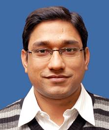 | Vaibhav Garg Water Resources Department Indian Institute of Remote Sensing Indian Space Research Organisation 4, Kalidas Road Dehradun - 248 001, Uttarakhand INDIA +91-135-2524165
| |
Supporters | ||
Advisor | ||
 | Amita V. Mehta NASA-Goddard Space Flight Center (GSFC) 612 NASA-GSFC Greenbelt MD USA 20771 USA +1 301-614-6270
| |
Advisor | ||
 | Christian Massari Research Institute for Geo-Hydrological Protection (IRPI) of the National Research Council (CNR) Via Madonna Alta 126 06126, Perugia ITALY +39 0755014405
| |
Advisor | ||
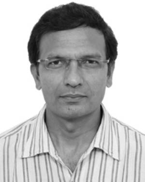 | Praveen Kumar Gupta Space Applications Centre Indian Space Research Organisation Jodhpur Tekra Ambawadi Vistar P.O Ahmedabad - 380015 INDIA +91 79 2691 4334
| |
Advisor | ||
 | Avinash Kumar National Centre for Polar and Ocean Research (NCOPR) Goa INDIA +91 832 2525 695
| |
Terms of Reference
- Develop remote sensing data for assimilation in hydrological and cryospheric models.
- Contribute to error assessment in the retrieval of satellite based hydrological and cryospheric parameters.
- Assemble historical records of consistent essential climate variable for studies of changes and trends in the hydrosphere and cryosphere.
- Assess glacier and ice sheet mass loss and relationships to sea level rise with consideration of thermal expansion, tectonic causes and other factors.
- Investigate the asymmetry in the changes of sea ice in the Arctic and Antarctic regions
Study trends and changes in albedo at high latitudes and relationships with changes in snow cover and melt patterns. - Monitor variability and trends in surface temperature and how they affect snow cover, sea ice extent, glaciers and ice sheet volume, and the permafrost regions.
- Understand the oceans’ role in the changes and interactions amongst the biological, chemical, and energy/water cycles in the oceans and their influence on terrestrial and cryospheric changes.
- Help, coordinate, present and future remote sensing missions especially those related to ocean, snow/ice, and terrestrial hydrological observations, and provide expertise in the calibration, validation, and dissemination of the resulting data.
- Understand hydrological extremes (floods and drought) using multi-sensor remote sensing inputs and develop techniques for early warning system
- Study the atmosphere-land surface interactions for better hydrological processes understanding
- Develop strategies for proper water resources management and utilization under changing climate, land use land cover, and management practices.
Monitor water quality and quantity; and assess future water availability - Highlight the role of advanced/upcoming remote sensing satellite sensor (Microwave/Hyperspectral/Thermal/Gravity etc.) for hydrological and cryosphere studies
- Address sustainable development goals – Climate Action; Zero Hunger; Clean Water and Sanitation using geospatial tools
- Contribute to capacity building in the field of remote sensing applications for cryosphere and hydrosphere
WG III/7


