ISPRS ICWG III/IVa
Disaster Management
Mission/Scope
ISPRS Working Group ICWG III/IVa on disaster management aims to contribute to an understanding of reducing existing risk, preventing the creation of new risk, and enhancing resilience mainly exploiting remotely sensing data and geospatial data services. ICWG III/IVa fosters cutting-edge research and development on the impact of global climate change on the frequency and the impact of natural hazards and disasters such as floods, earthquakes, hurricanes, landslides, epidemics, and so on. Concerning the 5-10 years vision of Global Geospatial Information Management, Sendai Framework, and the UNDRR, our target is to contribute to catastrophe prediction and assessment (i.e., pre-during-and-post), vulnerability and risk estimation. As a result, the activities of the ICWG will help reduce loss, mitigate, prevent future damage to a community, reinforce infrastructures, create a more robust and resilient environment, and meet SDGs 2030 agenda. ICWG III/IVa also intends to promote involvement with stakeholders and communities that require timely and adequate geospatial information to aid disaster response decision-making.
The focus will be on empowering how to build a better environment for future generations through GeoAI challenges emerging ideas for climate and environmental changes and disaster resilience to organize and develop new applications and implement novel technologies, algorithms, and Geo Apps effectively. However, there is a huge demand for integrating remote sensing, artificial intelligence approaches for geospatial data, social media, and the Internet of Things (IoT). As a result, the ICWG III/IVa invites team members and everyone to help improve monitoring, analysis, forecasting, and assessing the environmental implications of climate change and disasters.
To this purpose, the ICWG III/IVa contributes to research; and solutions addressing global-regional-local concerns related to climate and environmental change, predicting, modelling, mapping disasters, and community resilience. By socializing and sharing experiences related to the use of remote sensing data and geospatial data for disaster management among the different country members to bring practical insights, updates, and verified successful cases to guide smart decisions, make us more empathic and a more resilient community. As a result, we will organize technical events and regular ICWG III/IVa meetings. We will also contribute to developing open access datasets and new ideas, recommend APIs and organize international GeoAI challenges for disasters management to determine the best solutions and experiences by performing new algorithms and designs for various emerging applications. Furthermore, the ICWG III/IVa will maintain close collaboration with other Working Groups like WG III/5, WG III/7, WG III/10, ICWG I/II and Vb within commissions and organizations such as UN-GGIM, UN Disaster Services, UNDRR, UN Open GIS, ICA, FIG, and IEEE-TGRS.
Working Group Officers | ||
Chair | ||
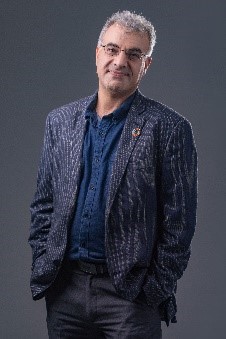 | Adam/Saeid Pirasteh Geospatial Intelligence and Mapping (GIM) Lab University of Waterloo 200 University Avenue West Waterloo, Ontario CANADA +1-416-835-5930
| |
Co-Chair | ||
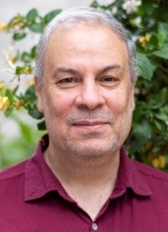 | Masood Varshosaz Department of Photogrammetry and Remote Sensing Geomatics Engineering Faculty K.N. Toosi University of Technology Tehran 15433-19967 IRAN +98 21 88786212
| |
Co-Chair | ||
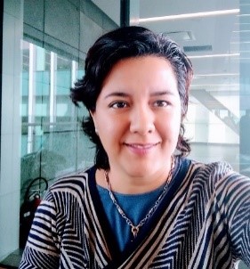 | Fabiola D. Yépez-Rincón Universidad Autónoma de Nuevo León (UANL) Calle Pedro de Alba s/n Centro, C.P. 64000 San Nicolás de los Garza, N.L. MEXICO +(81) 14424400
| |
Secretary | ||
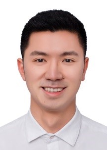 | Weilian Li Faculty of Geosciences and Engineering, Southwest Jiaotong University, China No. 999, Xi'an Road, Pidu District, Chengdu, Sichuan, 611756 CHINA
| |
Supporters | ||
Supporter | ||
 | Fabio Giulio Tonolo Department of Architecture and Design Politecnico di Torino Viale Mattioli, 39 10125 Torino ITALY +39-011-090-4362
| |
Supporter | ||
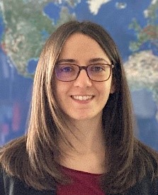 | Nina Merkle Deutsches Zentrum für Luft- und Raumfahrt (DLR), German Aerospace Center, Earth Observation Center Remote Sensing Technology Institute Photogrammetry and Image Analysis Oberpfaffenhofen 82234 Wessling GERMANY +49 8153 28 2165
| |
Supporter | ||
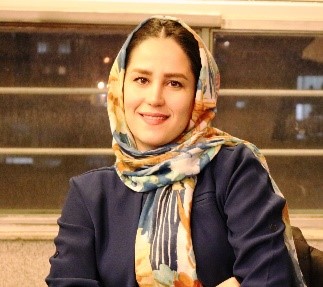 | Samira Badrloo Department of Photogrammetry and Remote Sensing Geomatics Engineering Faculty K.N. Toosi University of Technology Tehran 15433- 19967 IRAN +98 21 88786212
| |
Supporter | ||
 | Nelly Lucero Ramírez Serrato Institute of Geophysics National Autonomous University of Mexico Circuito de la investigación Científica s/n Ciudad Universitaria Delegación Coyoacán C.P. 04510, Ciudad de México MEXICO +818015121
| |
Supporter | ||
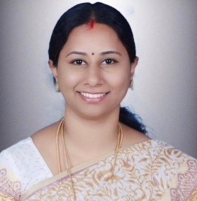 | Vidhya Lakshmi Sivakumar Department of Geotechnics and Geomatics Saveetha School of Engineering Saveetha Institute of Medical and Technical Sciences Chennai Tamil Nadu INDIA +91- 44 2680 1050
| |
Supporter | ||
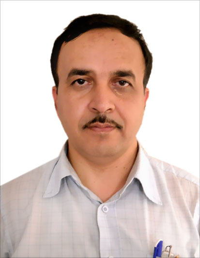 | Syed Mohd. Asghar Rizvi IDRS & GISA , AMU Aligarh H.No. 4/1175 -003A-Zone-01 Syed colony New S.S. Nagar Civil Line Dodhpur Aligarh-202002 INDIA + 91-9897585041
| |
Supporter | ||
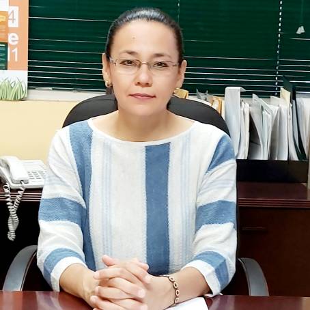 | Judith Ley García Edificio de Investigación y Posgrado 3er. Piso Unidad Universitaria Blvd. Benito Juárez s/n Mexicali B.C. México C.P. 21280 MEXICO
| |
Supporter | ||
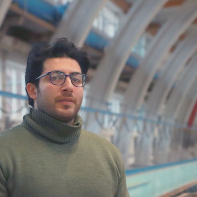 | Armin Moghimi Ludwig Franzius Institute of Hydraulic, Estuarine and Coastal Engineering Leibniz University Hannover Nienburger Straße 4 30167 Hannover GERMANY +49 15752449465
| |
Supporter | ||
 | Chengming Ye Faculty of Space Science and Technology, Chengdu University of Technology, No. 1, Erxianqiao Road, Chenghua District, Chengdu, Sichuan, 610059 CHINA
| |
Advisor | ||
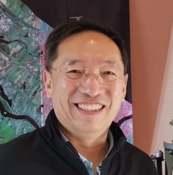 | Jonathan Li Department of Geography and Environmental Management University of Waterloo 200 University Avenue West Waterloo, Ontario CANADA +1-519-888-4567, ext. 34504
| |
Advisor | ||
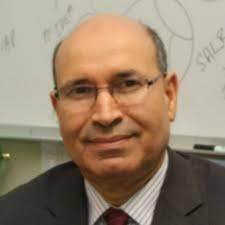 | Amor Laaribi UN Retiree Former UN-GGIM Coordinator International Freelance Consultant New York Area USA +1 914-357-0765
| |
Advisor | ||
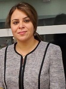 | Leila Farzinpur Ontario Institute for Studies in Education University of Toronto Ontario CANADA +1 (416) 978-0005
| |
Advisor | ||
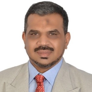 | Rifaat Abdalla Department of Earth Sciences College of Science Sultan Qaboos University P.O. Box 471, PC: 123, Al-Khodh OMAN +968-241-46847
| |
Advisor | ||
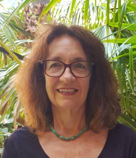 | Sisi Zlatanova UNSW Built Environment University of New South Wales Red Centre Building Kensington Campus Sydney NSW 2052 AUSTRALIA +61 4 2449 2894
| |
Advisor | ||
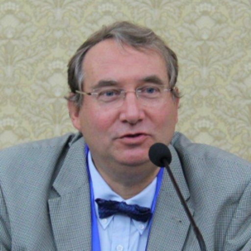 | Herve Yesou ICUBE_SERTIT Telecom Physics Strasbourg University of Strasbourg bv Sebastien Brant BP10413 67412 Illkirchgraffenstaden FRANCE +3368854643
| |
Advisor | ||
 | Yao Sun Chair of Data Science in Earth Observation Technical University of Munich Arcisstr. 21 80333 Munich GERMANY +49 89 289 22676
| |
Terms of Reference
-
Help bring partners, governments, and communities together to reduce disaster risk and loss exploiting remote sensing data and geospatial information; and to help ensure a safer, more sustainable future by sharing knowledge with policymakers and decision-makers.
-
Promote the advancement and research of the state-of-the-art GeoAI techniques for disaster management and disaster resilience, including machine learning, deep learning, cloud computing, knowledge graphs, early warning systems, monitoring, preparedness, algorithmic data analytics, and algorithms for human detection from earth observations and UAVs/MAVs images and videos, Geo Apps (applications), and so on
-
Investigate a new generation of technologies and their integrated systems for disaster response, modelling, and mapping.
-
Look into the use of geoinformatics in risk communication and strategies, such as data sharing, public engagement and participation, and social media.
-
Investigate natural hazards & disaster simulation and multi-dimensional visualization, including numerical simulation, pre-during-and-post disaster and damage assessment & response, vulnerability and risk estimation, risk mapping, and 2D/3D digital representation.
-
Explore extended reality applications in disasters, including scalability, localization, immersive analysis, and human injured detection from drone images.
-
Investigate disaster information extraction and monitoring, including disaster environment, infrastructure and critical assets, public awareness, and how geographic decision support systems may help with disaster management and risk reduction.
-
Organise technical events. For example, in the interdisciplinary field of remote sensing and disaster management, organise, develop, and conduct supporting educational activities (training courses, workshops, webinars, etc.). The educational activities will contribute to advance the education and professional development of both seasoned and early-stage remote sensing scientists and engineers.
-
Contribute to open access datasets (e.g. UAV image datasets of flood) and to conduct International Disaster Challenges competitions for good GeoAI disaster ideas, including algorithms, App designs, etc.
-
Organize an online catalog of initiatives, remote sensing data and platforms, APIs, SaaS, toolkits, and courses relevant and applicable in the disaster management cycle.
-
Collaborate with other WGs and ICA, FIG, UN-GGIM, UN-Open GIS, and IEEEGRSS, GEO, JBGIS, ICSU GeoUnions, IRDR.
-
Develop advanced algorithms for detecting humans post-disaster and rescue using unmanned aerial vehicle (UAV) images.
ICWG III/IVa


