ISPRS WG IV/10
Applied Spatial Science for Public Health
Our Mission
Recent years have seen an unprecedented challenges in public health, food security, education, professional development, and the workplace due to the COVID-19 pandemic. Its unforeseen natural consequences on people's physical and mental health by disrupting economic and social status has been pronounced. The 2002/2003 SARS-CoV took 2.5 years to infect 1000 people and SARS took about 4 months, whereas the novel SARS-CoV-2 (COVID-19) crossed that count in just 48 days. The controlled outbreak of SARS-CoV and SARS in 2002/2003 may have been caused by a small population and few social connections. Due to the world's growing population and widespread social interactions, any epidemic or pandemic will undoubtedly spread quickly, and its impact will be felt worldwide and its unavoidable example is COVID-19. Indeed, health professionals were considered all possible solutions of mitigating COVID-19, especially the use of Geoinformation Science (GIS), information technology and analytical visualization in public health domain. For example, Web-based tools were used to build interactive and near-real-time geospatial dashboards, by ingesting data from various sources, which became a pivotal source of information during the COVID-19 outbreak. The dashboards are just the beginning of how advancements are required in applied public health domain by adopting the geospatial technologies and state-of-art technologies such as Artificial Intelligence, Machine Learning, Deep Learning, multi-dimensional analytics, 3D visualizations, etc, in order to be prepared in advance for combating against diseases. However, few researchers found that people did not adhere to scientific facts and tried to deny scientific evidences of the pandemic because they were not being clearly communicated to science in a way that expanded their thinking to make personal choices. Therefore, scientific research needs to be connected with local communities to identify their needs by establishing relationships with community officials and other non-scientific organizations through Citizen Science.
Therefore, this GeoHealth Working Group (WG) aims to combine expertise across geospatial and health scientists in order to advance our timely understanding of disease surveillance, control, and prevention, catastrophic preparedness and response, vulnerabilities, and risk management. This WG seeks to form a vibrant community of members and volunteers to exchange knowledge, ideas, resources, and practices on the subject of GeoHealth in order to lay the groundwork for public health's geospatial readiness. This WG also targets to promote the geo-environment and geo-health through transdisciplinary research on state-of-art and geospatial technologies, citizen science, predictions for early responses and multi-dimensional visualization and analytics of space-time events. In parallel to data abundance in public health, geo-computational techniques have strengthened its roots to conduct analysis at advanced scales and discover intricate spatiotemporal relationships. Uncertainty, which affects estimates of geographic accessibility and cluster detection, among other complex relationships, is a problem that makes research difficult. The WG is particularly focused on the geographical, attribute, and temporal categories of uncertainty to fill the knowledge gaps at the intersection of public health and spatial uncertainty.
The purpose of this WG is drafted in a sequential way that it will strengthen efforts to advance innovative research, develop infrastructure and capacity, and nurture vital associations for the protection of the globe and humanity. This will also help in increasing the importance on and awareness of GeoHealth at both the national and international levels. Furthermore, capacity building necessary component to facilitate the sharing and application of geo-health information to address inefficiencies and inequities in healthcare system, and perform exposure assessment research.
Working Group Officers | ||
Chair | ||
 | Sameer Saran Geoinformatics Department Remote Sensing and Geoinformatics Group Indian Institute of Remote Sensing ( IIRS ) Indian Space Research Organisation (ISRO) Dehradun INDIA +91 9412917908
| |
Co-Chair | ||
 | Frank B Osei University of Twente Faculty of Geo-Information Science and Earth Observation ITC 2-031 P.O. Box 217 7500 AE Enschede NETHERLANDS +31534893308
| |
Co-Chair | ||
 | Dilek Koç San Akdeniz University Faculty of Architecture, Department of Urban and Regional Planning, 07058, Konyaalti/Antalya TÜRKIYE
| |
Secretary | ||
 | Priyanka Singh Dept. of Natural and Applied Sciences TERI School of Advanced Studies Plot No. 10, Institutional Area, Vasant Kunj New Delhi - 110 070 INDIA +91 7011828901
| |
Terms of Reference
- Bridge the spatial technologies and public health science communities to explore interdisciplinary collaborations for research, training, and practice to address the growing public health threat
- Increase awareness and promote the use of the Citizen Science approach among public health professionals for the collection of infectious, chronic, and vector-borne diseases incidence data
- Strengthen the spatial statistical robustness of public health research by addressing spatial and spatiotemporal uncertainty to conduct numerous simulations
- Advance the knowledge in the field of Multi-Dimensional spatial data handling and management as a selective approach for resource allocation and health policies
- Evolve mechanism to develop meaningful insights and patterns on multi-dimensional data using Exploratory Spatial Data Analysis (ESDA) techniques to formulate a new hypothesis
- Study the advances of Artificial Intelligence (AI), Deep Learning (DL), and Machine Learning (ML) with the amalgamation of geospatial technology in newer areas like supply chain management of critical resources, disease predictive modelling, hotspot detection, cluster-based response, and early warning systems
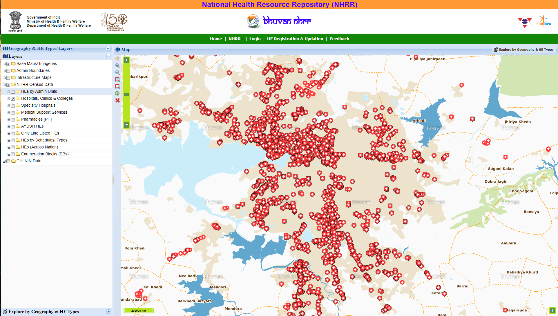
- Contribute to open access public health data resources by developing a dedicated Health GIS resources repository on an open platform for communities and individuals to contribute to it
- Build capacity to enhance interdisciplinary research collaborations in the fields of geospatial science and public health
WG IV/10
