ISPRS WG IV/12
Grid Modelling for Full-space Integration and Calculation
Our Mission
Considering the ongoing urbanisation, both global earth and specific regional/local areas face a myriad of complex issues. The current scope of geospatial informatics research pertains to the study of geographical distributions and dynamic phenomena in various areas such as above- and underground, indoor and outdoor, above and under the water, low and high-altitude airspace. However, a unified approach to deal with the complexity of these different environments is missing. Currently, each application concentrates on a set of objects, which are modelled following diverse representation methods and data structures. This brings numerous challenges in fusing data for complex interdisciplinary analyses and simulations.
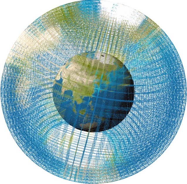
Grid models offer robust, flexible and unified data structures, which can facilitate greatly volumetric, neighbourhood, and metric operations, as well as allow for integration of complex 3D data across different disciplines. Global 3D grid models can provide global data localisation and effective data linkage, which facilitates information integration, indexing and querying and efficient data management.
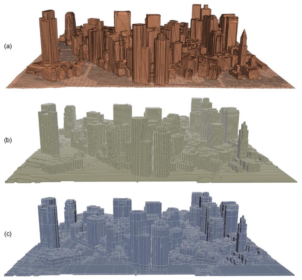
In comparison to conventional modelling methodologies, grids based on voxels, octrees, global discrete gridded systems, ensure uniformity, topological consistency and connectivity, which brings advantages to global- and regional-scale integrations, spatial-temporal calculations, environment monitoring and control, transportation and mobility, simulations and predictions of a variety of spatio-temporal phenomena.
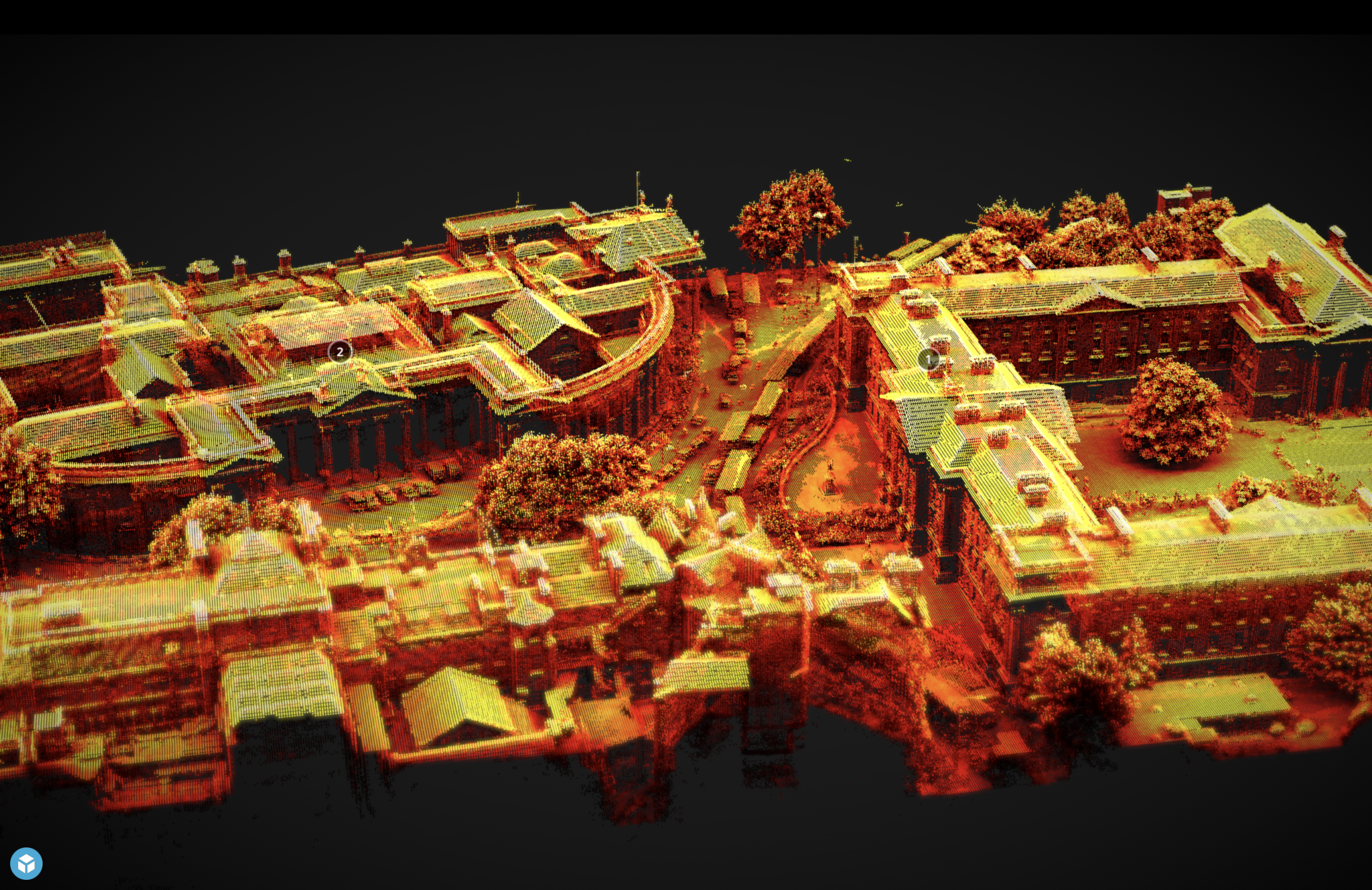
For decades, grid modelling techniques have been extensively used to process and analyse continuous phenomena in geology, meteorology, maritime and climate studies. Recently, grid modelling has been proven as a pivotal tool in the organisation, management, and computation of geospatial data for modelling of discrete objects. Despite these advances, research on multi-dimensional grid models for full-space integration and computation is still limited. Data management, visualisation and analysis of large areas represented as grids require further investigations.
The WG aims to promote and advance grid modelling for full-space integrations and calculation. It will facilitate the transfer and exchange of knowledge, experiences and expertise through conferences, workshops, publications and other online and offline channels. The WG will utilise the international platform of ISPRS, in collaboration with international standardisation organisations such as ISO/TC211 and OGC, to develop international standards in this domain. The WG will prioritise cooperation with other working groups within ISPRS TC IV.
Working Group Officers | ||
Chair | ||
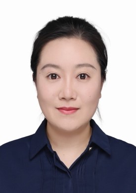 | Tengteng Qu Department of Aeronautics and Astronautics, College of Engineering, Peking University No.5 Yiheyuan Road 100871, Beijing CHINA +86 10 6275 1966
| |
Co-Chair | ||
 | P. Nourian MArch (Pirouz) Faculty of Geo-Information Science and Earth Observation (ITC) University of Twente Hallenweg 8 7522 NH Enschede NETHERLANDS +31 53 489 7465
| |
Co-Chair | ||
 | Anh Vu Vo School of Computer Science University College Dublin Belfield Dublin 4 IRELAND +353 87289563
| |
Secretary | ||
 | Yue Xu Key Laboratory of Remote Sensing and Digital Earth Aerospace Information Research Institute Chinese Academy of Sciences No.9 Dengzhuang South Road 100094, Beijing CHINA +86 13810788915
| |
Supporters | ||
Advisor | ||
 | Debra Laefer Tandon School of Engineering New York University 370 Jay Street NY 11201 USA +1 646 997 0504
| |
Supporter | ||
 | Liping Di Department of Geography and Geoinformation Science George Mason University 4400 University Drive VA 22030 USA +1 703 993 6114
| |
Terms of Reference
- Investigate practices for grid modelling methods for full-space integrations and calculations
- Review and benchmark the quality and practicality of grid modelling and grid-based computational techniques, standards, and algorithms
- Develop methods for unique identification of spatio-temporal objects based on grids, and efficient management and query of grids
- Facilitate the management of massive spatio-temporal data, including structured/unstructured, static/dynamic, target/data field, etc.
- Identify core functions and operations, which can be recommended for implementation in major software vendors
- Develop grid algebraic operations and parallel computing models for complex and massive spatio-temporal computational methods
- Implement physics-based models into grids for simulation and predictive modelling of spatio-temporal phenomena and processes
- Experiment with voxel-based or discrete cellular rendering engines to identify best environment for fast visualisation, exploration and manipulation of grid models
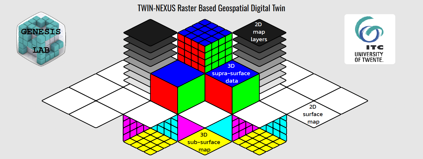
- Promote the applications in typical scenarios such as urban digital twin, global-scale management, environment monitoring, driving navigation for ground and low-altitude airspace, emergency response, disaster reduction, etc.
- Cooperate and involve in OGC and ISO for the development and promotion of the Grid-related standards
WG IV/12
